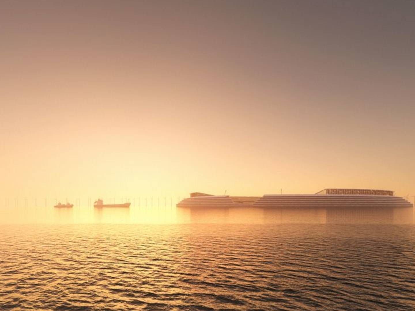
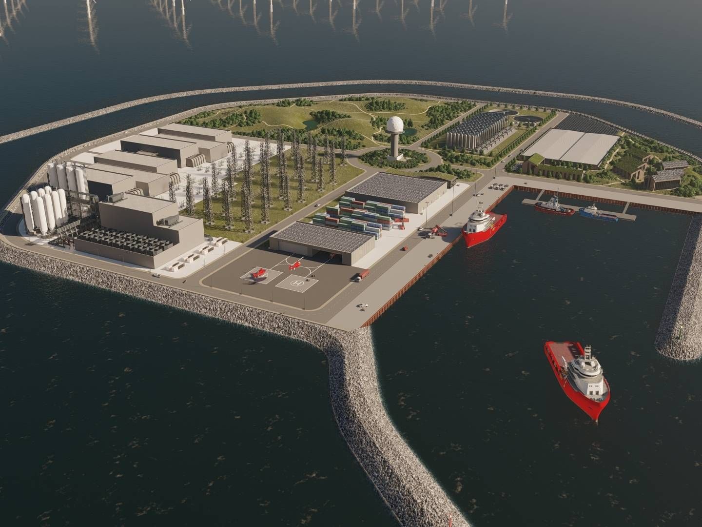
Doubts raised on seabed as top pick for energy island
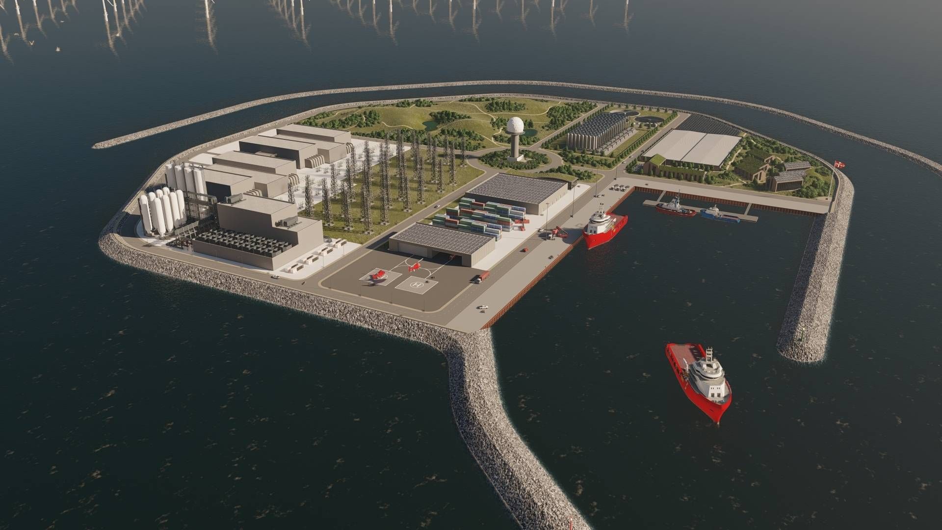
Featuring a depth only 26-40 meters, a North Sea bank roughly 100km off west of Denmark’s Thorsminde seemed quite ideal to host one of the country’s planned offshore energy hubs, but now new geological data gathered by the Geological Survey of Denmark and Greenland (GEUS) show that the site is maybe not so accommodating to construction as first considered, writes media Ingeniøren.
GEUS’ study shows presence of a 2.5km2 subterranean urstromtal, or meltwater channel, at the location.
Consortium Vindø, one of the developers vying to build and co-finance the energy island, tells the media of wanting to explore a site even though construction might still be viable atop the newly uncovered geological formation.
Deputy Director Mogens Hagelskær from the Danish Energy Agency points out, however, that there’s still ample time to find an optimal location.
”We have analyzed parts of the bank because we had made a theoretically informed assessment of this site being optimal. Then more studies are made and provide new knowledge, an it may be that some changes must be made to our initial concept,” he tells Ingeniøren:
”This sort of thing can occur many times before we sign a contract. We are still far from establishment phase, so we’re completely comfortable.”
Sweco selected as advisor for North Sea energy island
Danish authorities on the prowl for competitors to Ørsted and CIP for energy isle
Shell joins consortium bidding for North Sea energy island
CIP mulling German energy island in the North Sea